
Start with a town or city anywhere in the supported worldwide catalogue, or enter latitude and longitude yourself. Place search uses an approximate city centre. You can adjust coordinates and the local timezone when you know the observing spot.
Choose a local moment
Enter a Gregorian date from 1950 to 2050 and a local observing time. Daylight-saving gaps are rejected. When the clock repeats a time, choose the earlier or later occurrence. Future timezone rules can change; confirm the timezone for the date you need.
Choose how to see it
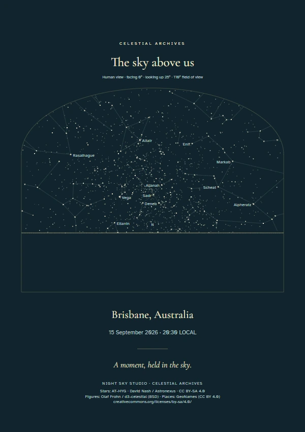
An overhead sky map places north at the top and east on the left. Human views face a selected compass bearing. A 360° panorama unfolds the horizon; the sky dome shows a celestial sphere. Earth + sky adds a separate geographic locator so the two globes are clearly distinguished.
Turn the sky into your design
Adjust the star brightness cutoff, constellation lines and labels, planets, grid, colour, shape, typography and text. Controls change the presentation of calculated data; they do not invent extra stars. Start with our digital star map bundle or browse gift ideas.
These are artistic reconstructions with documented scientific limits. A daytime chart may display calculated stars even though daylight would hide them from the naked eye.